
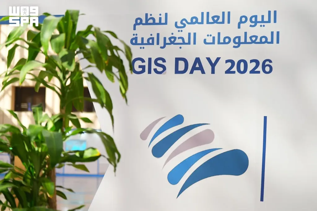
King Saud University Highlights AI and Geospatial Innovations at GIS Day 2026
Riyadh – November 19, 2026 | Saudi Press Agency (SPA)
King Saud University continued its activities for the 16th edition of Geographic Information Systems Day (GIS Day 2026), highlighting the growing role of artificial intelligence and geospatial technologies in spatial data analysis, infrastructure monitoring, environmental management, and data-driven decision-making.
Organized by the Department of Geography at the College of Humanities and Social Sciences, the event featured scientific lectures and practical demonstrations showcasing innovative applications of emerging technologies across various sectors.
AI Applications in Infrastructure and Geographic Data Analysis
The scientific sessions explored how artificial intelligence can enhance infrastructure monitoring, particularly through advanced systems capable of detecting road defects and accurately identifying their locations.
Experts also emphasized the importance of documenting geographical names and preserving their historical sources, highlighting their significance in maintaining geographic knowledge and supporting reliable spatial databases.
The discussions further examined the use of unmanned aerial vehicles (drones) to collect and analyze geospatial information, demonstrating how these technologies improve data accuracy, operational efficiency, and environmental monitoring.
Buraidah Oasis Project Demonstrates Advanced Environmental Monitoring
One of the event's key highlights was the presentation of geospatial and AI applications used in the Buraidah Oasis Project.
The project demonstrated how drone-based data collection and advanced spatial analysis can identify tree locations, assess vegetation health, and monitor green coverage with an accuracy exceeding 90%.
This practical application illustrates the potential of combining artificial intelligence with geospatial technologies to improve natural resource management, support environmental sustainability, and enhance the monitoring of vegetation and green spaces.
Advancing Geospatial Technologies and Knowledge Exchange
GIS Day 2026 aims to introduce participants to the latest developments in geographic information systems while encouraging collaboration and knowledge exchange among academics, researchers, and industry specialists.
The event also highlights the contribution of modern geospatial solutions to improving public services, optimizing resource management, and strengthening evidence-based planning.
Through its scientific sessions and practical demonstrations, King Saud University continues to promote technological innovation and expand awareness of the importance of GIS and artificial intelligence in addressing infrastructure and environmental challenges.