
"Sunken Treasures" Exhibition Presents Historical Maps That Charted the Red Sea's Importance Through the Ages
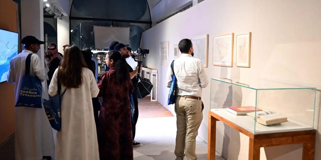
The exhibition "Sunken Treasures: The Maritime Heritage of the Red Sea" at the Red Sea Museum in Jeddah is continuing to offer rich cultural and educational content by spotlighting a collection of historical maps that document the strategic standing of the Red Sea as one of the world's most important maritime corridors across the ages.
Visitors can explore rare maps dating back to the seventeenth century that reveal how geographers, travelers and cartographers viewed the Red Sea as the main link between the Mediterranean and the Indian Ocean, and as a vital corridor for global trade, pilgrimage journeys and cultural exchange between Asia, Africa and Europe.
The exhibits also illustrate the central role the Red Sea played in the flourishing of trade, crossed by ships laden with spices, incense, textiles and metals, as well as pilgrim ships from across the Islamic world, making it one of the most active and influential sea routes in history.
The exhibition also traces the development of navigation and cartography. These documents drew on the expertise of sailors and travelers in recording coasts, islands and ports, becoming an essential reference for seafaring before the advent of modern technology and reflecting the growth of geographic knowledge over the centuries.
Through these historical documents, "Sunken Treasures" affirms that old maps are an important source of knowledge no less valuable than artifacts, carrying information that documents the development of the Red Sea and its civilizational role, as part of the museum's mission to preserve maritime heritage and raise awareness of its cultural and historical importance.